|
NO Water,
No life. No blue, No green. |
|
|
|
NO Water,
No life. No blue, No green. |
|
|
Thursday, 23 November 2017
Project Proposal
Uncertainties in Hydrological Models
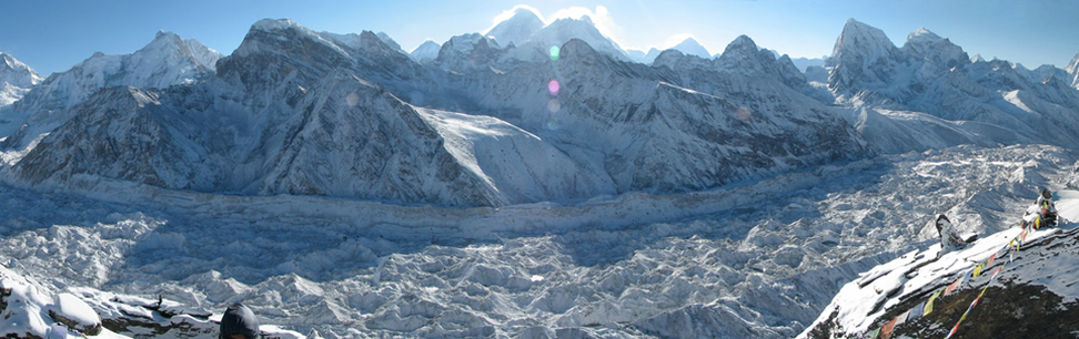
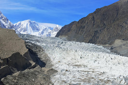
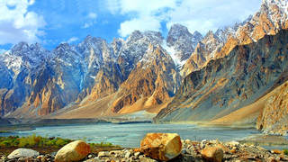
GIS gives us a platform where we can link together spatial and non-spatial attributes for better understanding of our data. It is focused on representing the landscape by means of georeferenced data describing the character and shape of geographic features. Stepping into the corridor of 21th century the trend of using GIS techniques in almost every field has increased for understanding problems and enhances the methods of investigation for better decision making. Researchers and scientists are working day and night to develop techniques, systems and algorithms that can reduce the workload from human beings. Hydrological modeling has been used since long manually including hydrographs and other supporting tools. A spatial hydrology model is one which simulates the water flow and transport on a specified region of the earth using GIS data structures (David R. Maidment 1996).
References
|
Group Member
Eshrat Fatima (MS-04) Syeda Saleha Fatim Ali (MS-04) Advance GIS Project |
|
|
